The Environment Agency have updated their long term flood risk information, as part of the National Flood Risk Assessment (NaFRA2) at the end of January 2025.
Future updates:
In Spring 2025, the following updates are anticipated:
- The NaFRA2 update will also include an update to the Flood Risk for Planning, to include surface water flood risk shown on the maps. This is more aligned with how flood risk assessments are undertaken at planning stage for proposed developments.
- It is also anticipated that the Spring 2025 update will include updated Flood Zone data (for flood zones 2 + 3), and extents for flood risk in areas protected by flood defences.
Why is this important?
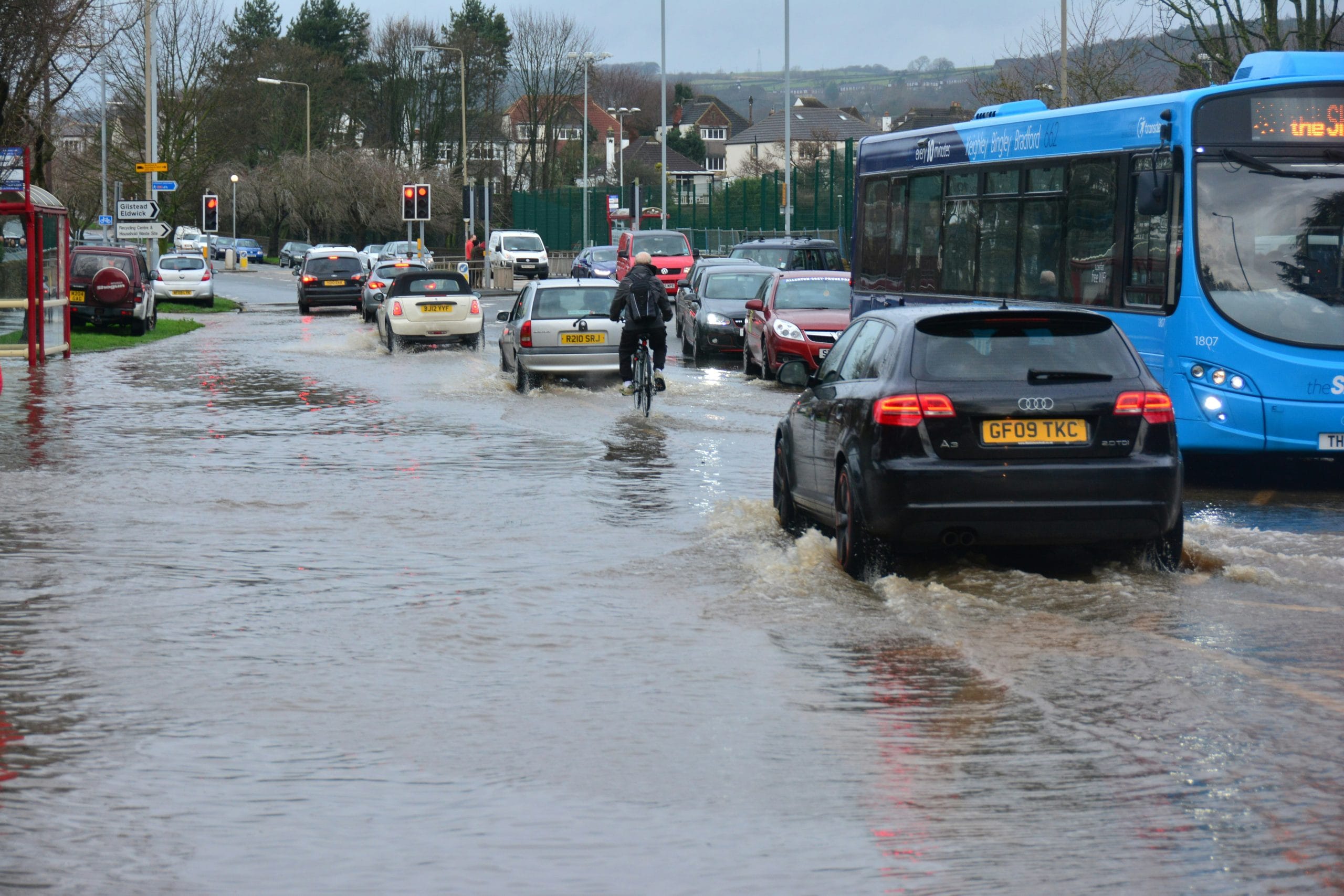
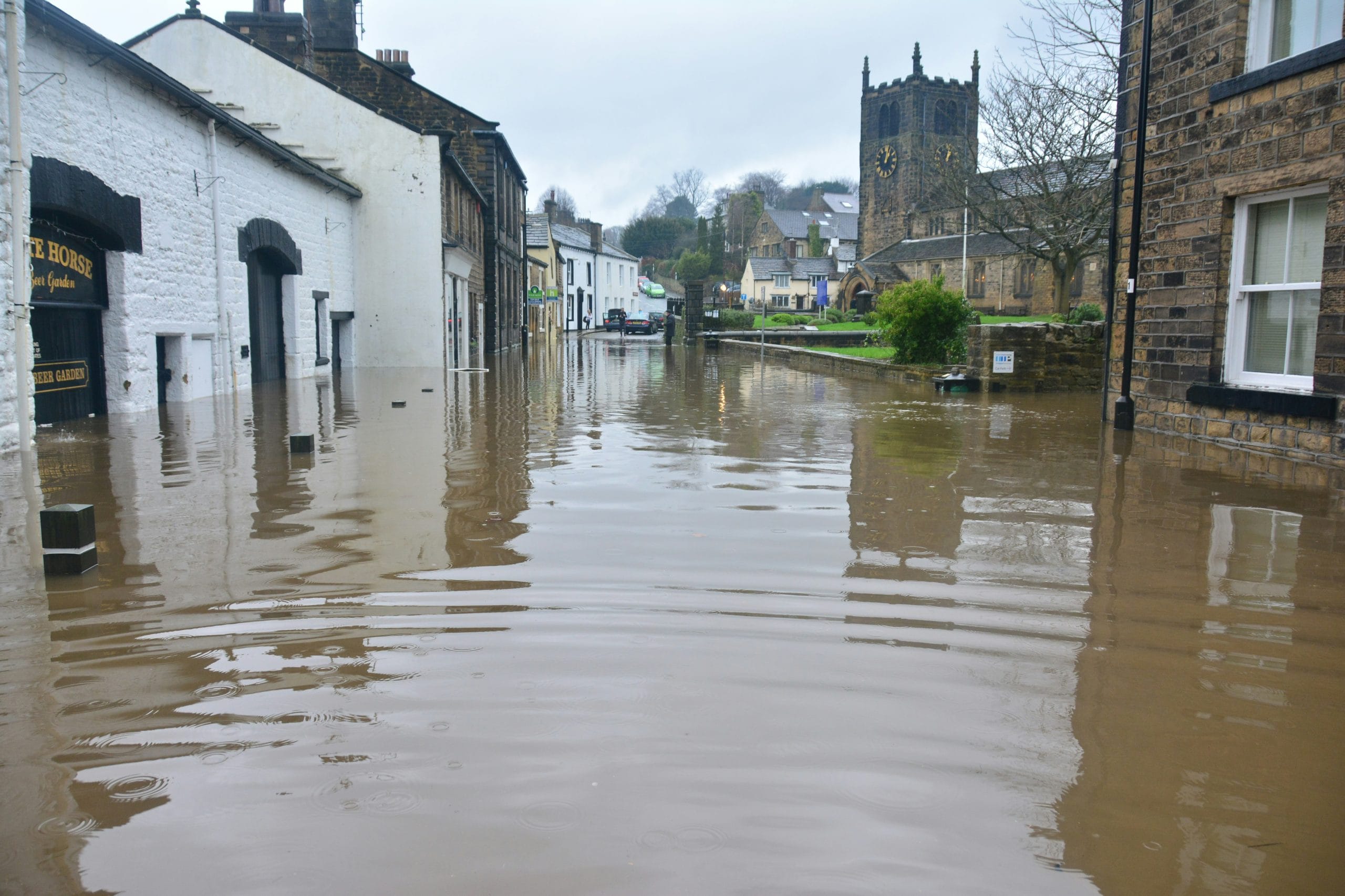
It is expected that 1 in 4 properties will be at risk of flooding by the middle of the century.
- While total number of ‘at-risk’ properties has not increased since the previous assessment, there is an 88% increase in the number of properties at higher levels of flood risk from rivers and tidal flooding.
- Similarly, there is a 43% increase in the number of properties at risk of surface water flooding
The changes in risk levels to properties can be attributed to the increased accuracy of flood risk modelling, and higher resolution of available data to assess flood frequencies.
How do we apply this information?
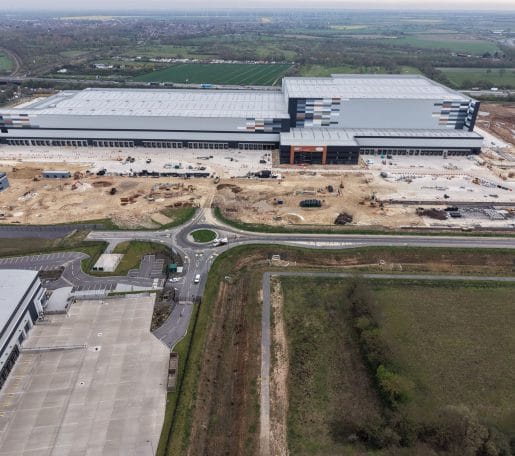
- Collaborative work between Local Authorities, engineers and developers to understand the implications of updated flood risk, provide effective planning for long term flood risk resilience to communities.
- Engineering design should provide flood resilience and sustainable means of flood risk mitigation in urban areas, with a long term view to flood risk adaptation.
How can we help you?
Reach out to Fairhurst to understand the impact that the updated flood risk has on your development sites, and to understand what this might mean for your development! We are also more than happy to provide initial advice on flood risk implications, both at present and for the future.